
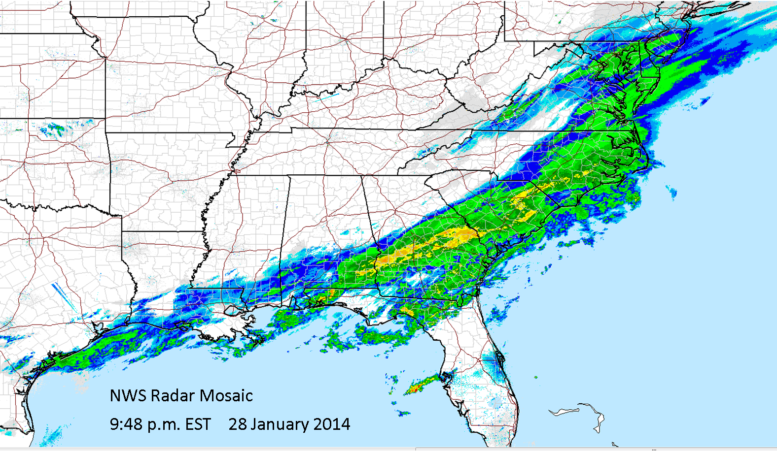
Last night the leading edge of the cold air stretched from the middle of the Gulf of Mexico to across northern Florida, and precipitation had beren occurring all day along and behind the front. Wintry precipitation, from freezng rain to sleet to snow, fell from Louisianna into Alabama, Georgia, the Carolinas, and Virginia.
 |
| Surface map for 7:00 p.m. EST January 28, 2014 |
 |
The cold front has advanced into southern Florida, and a band of precipitation continues to affect areas on the cold side of the boundary.
 |
| Surface map at 7:00 a.m. EST and radar image at 10:38 a.m. EST January 29, 2014 |
This morning Winter Storm Warnings extended from the Florida Panhandle through Georgia and into southern South Carolina.
 |
| Watches, warnings, and advisories as of 10:06 a.m. EST |
Here's a forecast for Tallahassee, Florida you won't see very often.

Snowfall amounts as of 7:00 a.m. EST this morning were as high as 4 to 6 inches in eastern North Carolina to southeast Virginia and from 1 to 3 inches from east-central Alabama across northern Georgia. Many CoCoRaHS observers in the south got their first experience measuring snow this morning. In North Carolina 5.3 inches of snow was reported by station NC-DR-10 Kill Devil Hills 0.9 WNW on the Outer Banks! Six inches of snow was reported by the observer at NC-NS-18, Elm City 6.3 NW in Nash County.

 |
| Traffic cam from Atlanta on the morning of January 29, 2014 |
No comments:
Post a Comment