I defined my "heavy rain" amount as equal to or greater than 3.00 inches. That's a pretty decent amount almost anywhere for 24 hours, and if it falls fast enough it can cause problems. I constructed a table showing the daily maximum values, the number of precipitation reports of 3 inches or more, and the states reports were received from.
| Date | Max Precip in. | State | #>=3in | States/Provinces |
| 8/1/2014 | 7.43 | SC | 75 | FL LA NC PR SC TX |
| 8/2/2014 | 4.96 | NC | 31 | HI LA NC NM PR TX VA |
| 8/3/2014 | 6.37 | NC | 24 | FL GA NC PR |
| 8/4/2014 | 6.95 | FL | 20 | FL LA MS NC NY |
| 8/5/2014 | 7.00 | FL | 17 | FL IL ON |
| 8/6/2014 | 5.65 | ND | 11 | FL IA ND NE SD |
| 8/7/2014 | 5.29 | MO | 40 | IA KS MO |
| 8/8/2014 | 7.96 | HI | 24 | AL CO GA HI IL MO |
| 8/9/2014 | 5.86 | HI | 23 | AL AR GA HI KY NE NL SC TN |
| 8/10/2014 | 6.96 | SC | 54 | AK AR GA IL KS LA NC NE NM SC SD |
| 8/11/2014 | 6.35 | TN | 28 | AK AL GA IN MN MO MS NC SC TN |
| 8/12/2014 | 8.03 | MD | 54 | FL LA MD MI MS NC OH ON SC TN VA |
| 8/13/2014 | 13.02 | NY | 137 | AZ DE FL MD ME NC NJ NY PA SC VA |
| 8/14/2014 | 6.22 | ME | 57 | CT MA ME NH RI |
| 8/15/2014 | 4.47 | FL | 4 | FL SD |
| 8/16/2014 | 8.00 | ND | 31 | CT FL IA MO ND |
| 8/17/2014 | 4.50 | ND | 6 | FL IL MO ND TX |
| 8/18/2014 | 5.43 | TN | 20 | AR MN MS NS TN |
| 8/19/2014 | 8.10 | NC | 60 | AL MI NC SC TN TX WI |
| 8/20/2014 | 4.85 | NC | 5 | MI NC OH TX |
| 8/21/2014 | 4.20 | MAN | 4 | HI MAN ND |
| 8/22/2014 | 10.63 | IN | 133 | IL IN NC NJ OH PA |
| 8/23/2014 | 4.96 | PR | 25 | IA IN KS KY MD MT NE PA PR WV |
| 8/24/2014 | 5.86 | MT | 46 | FL IL IN MT NC ND PR SC SD |
| 8/25/2014 | 3.97 | GA | 6 | GA MT SASK TN WI |
| 8/26/2014 | 4.93 | NE | 7 | FL IA NE |
| 8/27/2014 | 3.11 | IL | 2 | IL MO |
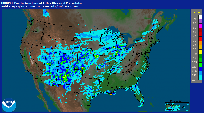
So far this month every day has had at least one report of 3 inches or more of rain. You can see when the larger (in terms of area) events occurred. On August 12th there were 137 reports of 3 inches or more of rain. This was from the slow moving storm that moved up the east coast from Virginia to Maine that week. However, one contribution to this high number of reports is likely due to rain gauge (population) density. There were many more gauges sampling the storm that week in the east than, say, Wednesday 8/26 in Illinois. As of this posting there were only two reports of 3 inches of rain or more this morning, but there would have probably been more if we just would have had some gauges underneath those slow moving storms yesterday. According to the multi-sensor precipitation map for yesterday there were 3-inch plus amounts in central Illinois, in northwest Missouri, the Oklahoma panhandle, and in central New Mexico.
However, there were no CoCoRaHS gauges capturing those 3 inch plus amounts in Oklahoma and New Mexico. NWS Cooperative observers in Atchison, MO received from 3.5 to 4.5 inches of rain in the 24-hour period ending this morning.
So far this month heavy rain has been reported in 42 states, 5 Canadian provinces, and Puerto Rico.
So how does this compare to the past several years? In 2011, 26 days had an observation of 3 inches or more, and in 2012 through 2014 each day from August 1-27 had at least one observation 3 inches or more. (I did not go back further since the number of active stations was much less in prior years.) Here is a chart showing the distribution of CoCoRaHS observations at different rainfall amounts for those years.

I don't think you can really draw any conclusions from all of this other than the fact that these heavy rain events occur frequently this time of year across much of the country and this year is not much different from the last few years. These are only the CoCoRaHS observations, and the raw numbers would look different (higher amounts on more of the days) if we included all of the NWS Coop observations. It's just an interesting way to look at the tens of thousands of CoCoRaHS observations our volunteers submit each month and an example of how important your observations are to describing the precipitation climatology.
One area that had exceptional monsoon rains in August 2014 is the southern portion of Idaho, particularly in the Twin Falls area. My parents live in that area and recorded about 6" of rainfall during August (although not measured with an official CoCoRahs gage. They normally don't experience much monsoon rainfall that far north, with the August average being only about a third of an inch in that area. I believe that this is unprecedented for that area and is not only the wettest August on record, but the wettest of any month on record in some places, even though August is (on average) their second driest month of the year. Neighboring portions of northeastern Nevada and northwestern Utah also saw some exceptional rainfall in August 2014, with heavy rainfall again this month (September).
ReplyDelete